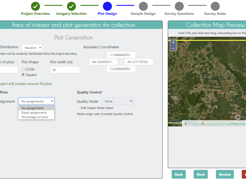
Utilizando os seus próprios dados no CEO: Conectando WMS/WMTS [português]
O CEO fornece maneiras fáceis de adicionar suas próprias imagens aos seus projetos. Nesta postagem do blog, vamos nos concentrar em conectar ...
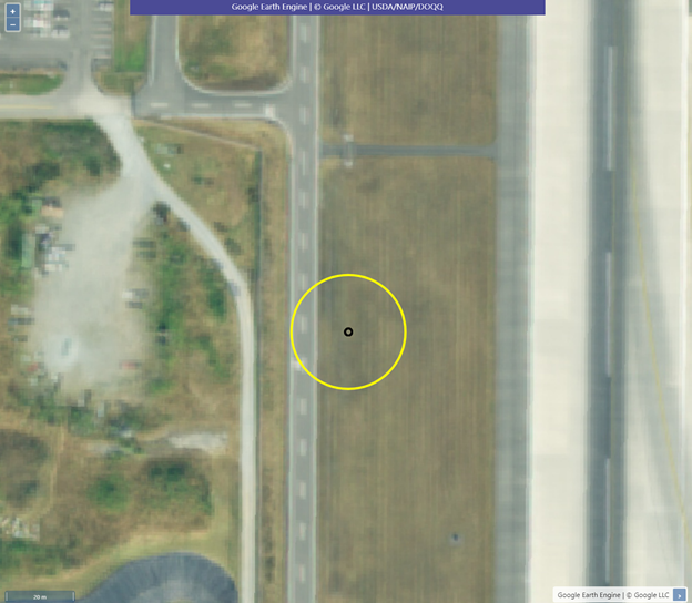
Using your own data in CEO: Connecting GEE raster data
CEO provides easy ways to add your own imagery to your projects. In this blog post, we will focus on connecting GEE ...
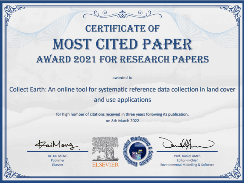
CEO paper wins multiple awards
The Collect Earth Online (CEO) team is pleased to share that the manuscript Collect Earth: An online tool for systematic reference data ...
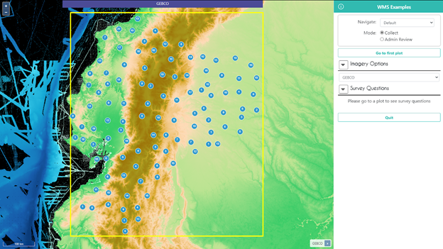
Using your own data in CEO: Connecting WMS/WMTS
CEO provides easy ways to add your own imagery to your projects. In this blog post, we will focus on connecting WMS/WMTS ...
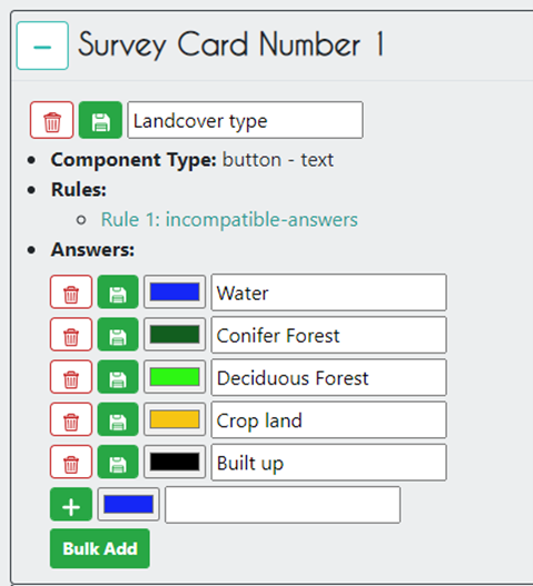
Winter 2022 updates: Survey improvements
The Collect Earth Online (CEO) team is excited to announce the launch of new and improved survey question features that we’ve added ...
Fall 2021 Updates: Automated Quality Control Tools and More
The Collect Earth Online (CEO) team announces several new features including automated quality control tools, improvements to plot navigation, and more.
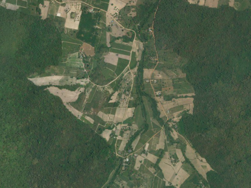
FAO uses CEO to reveal the impact of agricultural expansion on tropical rainforests
Collect Earth Online (CEO) is helping the Food and Agriculture Organization of the United Nations (FAO) uncover the causes of deforestation around ...
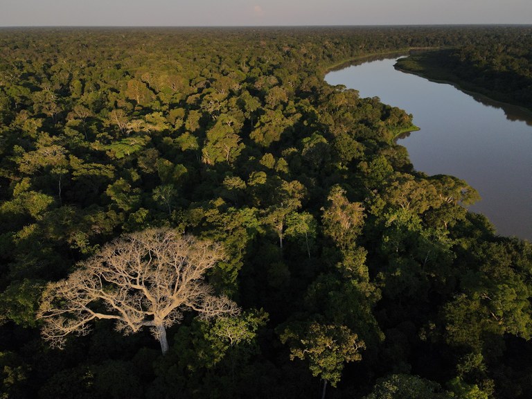
Collective mapathon confirms TerraBio’s remote sensing approach
Collect Earth Online (CEO) was recently used in order to improve and test the accuracy of TerraBio’s mapping capabilities in a series ...
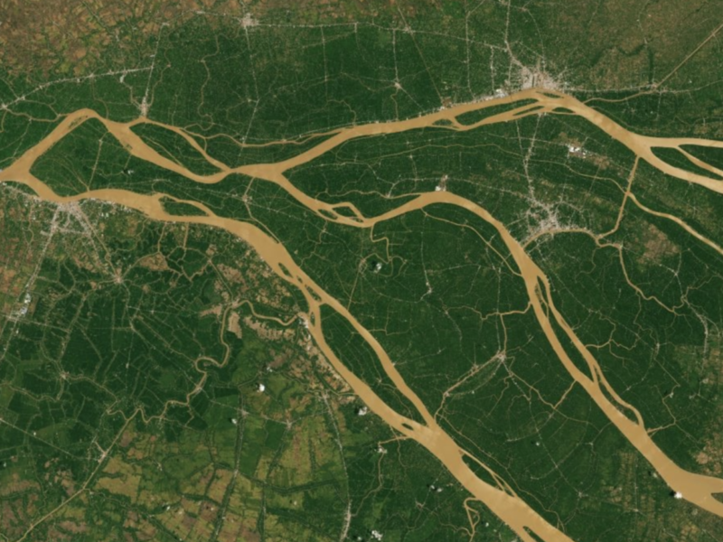
Using CEO to Estimate the Area of Crop Expansion into the Forests of Southeast Asia
A new USAID-funded study used Collect Earth Online (CEO) to estimate area devoted to specific crops and forest loss.
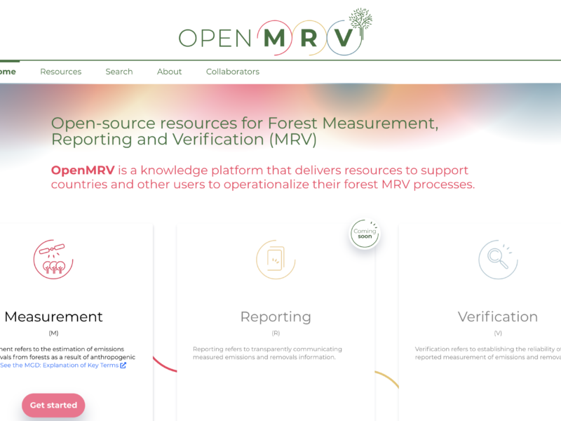
CEO Featured as a Key Tool in New OpenMRV Website
The Global Forest Observation Initiative (GFOI), together with its lead partner the World Bank, launched the knowledge platform OpenMRV (openmrv.org).


